
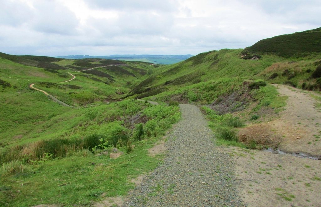
Ben Nevis is the highest mountain in the British Isles at 1,345 m (4,413 ft), and something like 150,000 people a year set out to stand on its summit. Most of them go by the Mountain Track, the old pony path from Glen Nevis that was built in 1883 to service a weather observatory on the top. It is not a technical route. It is a long, steep, stony trudge that becomes, in the last few hundred metres, a genuinely serious piece of mountain ground when the cloud is down. This is what we would want to know before going up.
Distance, ascent and time
From the Glen Nevis Visitor Centre car park, about 2.5 km (1.5 miles) south of Fort William, the round trip is roughly 17 km (10.5 miles) with about 1,300 m (4,265 ft) of ascent. The car park sits at only 20 m or so above sea level, which is why the climb is so complete: almost every metre of the mountain’s height is yours to earn. A fit walker takes 7 to 9 hours for the round trip; 4 to 5 hours up and 3 to 4 down is typical.
The path is well made and easy to follow in the lower and middle sections. It crosses the River Nevis on a footbridge, climbs steadily up the flank of Meall an t-Suidhe, then zigzags up to the Halfway Lochan at about 570 m (1,870 ft). A boggy plateau follows, then the Red Burn crossing at roughly 700 m, which is the last reliable water. Above that the path climbs a long series of zigzags on loose rock and scree until, at about 1,200 m, it reaches the summit plateau.
The summit plateau: where the mountain gets serious
The top of Ben Nevis is a broad, stony plateau, almost flat, roughly the size of several football pitches, littered with cairns and the ruins of the old observatory. On a clear day you walk across it to the trig point and the summit shelter without a second thought. In cloud, which is the case roughly 300 days a year, it is one of the most dangerous places in Britain for a walker who cannot navigate, because the plateau is bounded on its north side by cliffs 600 m high and on the east by the steep gullies of Five Finger Gully and Coire Eoghainn.
The path fades on the plateau, and in winter it disappears completely under snow. The standard safe descent is a two-leg compass bearing that has been published by the mountain rescue team for decades: from the summit trig point, walk on a grid bearing of 231 degrees for 150 m, then on a bearing of 281 degrees to reach the top of the zigzags. Those numbers have to be adjusted for magnetic variation and paced accurately, and if that sentence sounds like a foreign language, we would gently suggest going with someone who understands it, or picking a day with a good forecast and turning back if the cloud comes in.
Cornices, snow and the winter reality
Snow lies on the summit of Ben Nevis for much of the year. It can fall in any month, and lying snow on the plateau is normal from November to May, sometimes into June. In winter the cliff edges on the north side grow cornices, overhanging lips of wind-blown snow that can extend several metres beyond the true edge of the rock. A walker who strays toward them in cloud may be standing over thin air without knowing it. Gardyloo Gully, a notch just east of the summit, is the classic trap, and the compass bearings above are designed specifically to keep you clear of it.
From late autumn to spring, the Mountain Track is a winter mountaineering route, and ice axe, crampons and the ability to use them are essential above about 900 m. Avalanche risk on the upper zigzags is real after fresh snowfall.
Weather, water and what to carry
The summit has its own climate. The old observatory recorded an average annual temperature just below freezing, over 4 m of precipitation a year and gusts above 150 mph. On a summer day it is typically 8 to 10 degrees Celsius colder on top than in Fort William, with the wind chill taking it lower still. We always carry a full waterproof shell, a warm insulated layer, hat and gloves, a map and compass, a headtorch, food for the whole day and a litre or more of water each. Water is plentiful up to the Red Burn and absent above it; fill there. There are no toilets on the mountain and no facilities on the summit beyond an emergency shelter that is a survival refuge, not a rest stop.
Boots with ankle support are the sensible choice on the upper scree, which is rough and unstable and accounts for most of the sprained ankles on the descent. The dedicated Scottish mountain weather forecast and, in winter, the national avalanche report are the two things we check before deciding whether to go.
Fort William, transport and timing
Fort William is the natural base, with a railway station on the West Highland Line from Glasgow, plenty of accommodation and outdoor shops for anything you have forgotten. The Glen Nevis Visitor Centre car park charges a daily fee and fills early in summer; a local bus service runs from the town into the glen in season, and the walk from the town centre to the start of the path adds about 3 km. Starting by 8 am gives a comfortable margin for a 9 hour day. In midsummer the long Scottish daylight is forgiving; in October, with sunset around 6 pm, a late start is the most common way people end up walking the zigzags by headtorch.
Our short list before any Ben Nevis day:
- Check the summit forecast for wind, cloud base and freezing level, not the Fort William weather.
- Carry map and compass and know the two summit bearings.
- Set a turnaround time and keep it, whatever the group says.
- Fill water at the Red Burn on the way up.
- In winter, treat it as a mountaineering route or hire a guide.
A hill worth the respect
On a rare clear day, the view from the top stretches from the Cairngorms to the Hebrides and the Cuillin of Skye, and the walk back down into the green of Glen Nevis is a long, satisfying unwind. The Mountain Track is called a track for a reason: it is a path, not a climb. But the mountain at the top of it is a real one, and it deserves the same care as any alpine summit.