
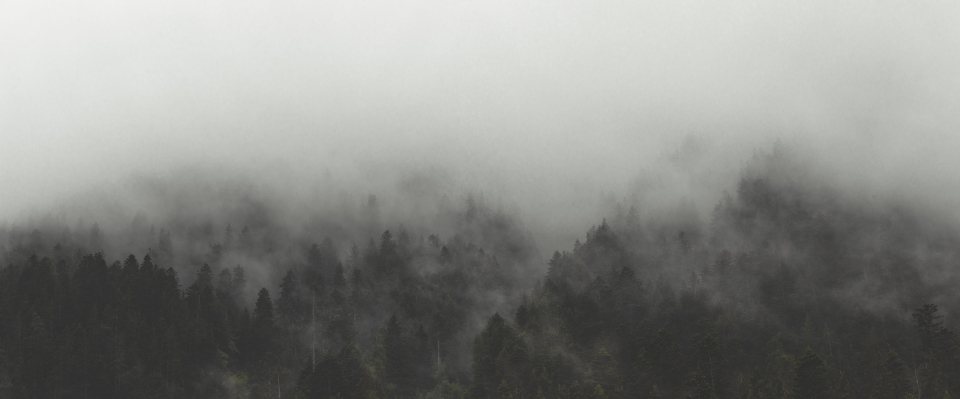
Most people picture the Caribbean as beaches, but the Dominican Republic has a mountain range in its middle that would not look out of place in the Rockies. The Cordillera Central rises to 3,098 m (10,164 ft) at Pico Duarte, the highest point in the Caribbean, and climbing it is a proper two or three day backpacking trip through pine forest, cloud forest and high alpine meadow. We went expecting a jungle walk and found ourselves shivering in frost at dawn. It is one of the most surprising hikes we know.
The mountain and the park
Pico Duarte stands inside the Jose Armando Bermudez National Park, a large protected area of forest and river headwaters in the heart of the country. The peak itself is a broad, rounded summit of grass and scattered pines rather than a rocky spire, but its height puts it well above the treeline of the surrounding hills, and the views on a clear morning stretch across the whole island. The mountain is named for one of the founding figures of the Dominican Republic, and a small monument marks the top. Several of the rivers that supply water to the island’s farms and cities begin on its slopes, which is why the park exists at all.
The gateway is the small farming community of La Cienaga de Manabao, reached by road from the mountain town of Jarabacoa, about 35 km (22 miles) away. The park office at the trailhead is where every trip begins, where the entrance fee is paid, and where guides are assigned.
The route from La Cienaga
The standard trail runs about 23 km (14 miles) one way from La Cienaga to the summit, so the round trip is around 46 km (29 miles). The trailhead sits at roughly 1,100 m (3,600 ft), which means close to 2,000 m (6,500 ft) of elevation gain to the top, with additional ups and downs along the way. It is not technical, but it is long and relentlessly steep in places.
The first section follows a river valley through farmland and then climbs into the pine forest to a camp called Los Tablones at around 1,600 m (5,250 ft), where many groups stop for lunch. From there the trail climbs harder, through a stretch known for its steepness, up to the pass at Aguita Fria at roughly 2,650 m (8,700 ft), where a spring gives the place its name. The trail then descends slightly to the main camp at La Comparticion, at about 2,450 m (8,040 ft) and around 18 km (11 miles) from the start. Almost everyone sleeps here. The summit is another 5 km (3 miles) and about 650 m (2,100 ft) higher, and it is climbed in the dark the next morning to reach the top for sunrise.
Guides and mules are mandatory
You cannot climb Pico Duarte alone. Park rules require every group to be accompanied by a licensed local guide, assigned at the office in La Cienaga, and the guides come with mules. This is not a tourist gimmick. The guides are farmers from the valley who know the trail in cloud and darkness, and the mules carry the food, cooking gear and tents, and sometimes a tired hiker. The fees for guide and mule are set per day and are modest by international standards, and you are expected to bring food for the guide as well as for yourselves. Tipping at the end of the trip is customary. Many visitors book the whole thing through a small local operator in Jarabacoa, which takes care of the logistics; others simply turn up at the park office a day ahead and arrange it directly.
La Comparticion and the cold
The camps have basic wooden shelters with raised sleeping platforms, a cooking area and a latrine, and a stream nearby for water, which should be treated. There are no mattresses or bedding. La Comparticion sits in a high meadow surrounded by pines, and after dark the temperature falls fast. Nights near 0 C (32 F) are normal from December to February, and frost on the grass at dawn is common. We have seen ice on the water buckets. Bring a sleeping bag rated for freezing conditions, a warm hat and a proper insulated jacket. This is the item people most often get wrong, arriving in Caribbean clothing and spending a miserable night.
The summit push starts around 4 or 5 in the morning by headlamp. The trail climbs through the last pines onto open ground, and the sky lightens as you reach the top. On a good morning the sun rises over a sea of cloud with the ridges of the Cordillera Central poking through, and the cold is forgotten. Then it is the long walk back down to La Cienaga, usually done in a single day, which is hard on the knees.
When to go and what to bring
The dry season from December to March is the most reliable window, with the clearest skies and the coldest nights. April and May are still good. The rainy months from June to November bring afternoon storms and mud, and the hurricane season overlaps with them, so trips can be cancelled at short notice. Water is available at the camps and from streams along the route, but the climb between Los Tablones and Aguita Fria is long and dry, so carry at least 2 litres per person on that stretch.
- Sleeping bag rated to freezing, plus a sleeping pad, since the platforms are bare boards
- Warm jacket, hat and gloves for the summit dawn
- Rain jacket, even in the dry season, because cloud forest is cloud forest
- Sturdy footwear for mud, rock and long descents
- Headlamp for the pre-dawn summit walk
- Food for yourselves and your guide, and cash for fees and tips
Is it worth it?
Absolutely. Pico Duarte is not a difficult climb by mountaineering standards, but it is a genuine expedition in a landscape most visitors to the island never see. The pine forests smell like the American West, the meadows feel alpine, and the summit at dawn is a moment you will carry home. Go with realistic expectations of the cold, respect the guide who knows the mountain, and give yourself three days rather than two if you can. The Caribbean has a roof, and it is a beautiful place to stand.