
The West Highland Way was opened in 1980 as Scotland’s first official long-distance route, and it remains the one most people walk first. It runs 154 kilometres, or 96 miles, from Milngavie on the edge of Glasgow to Fort William at the foot of Ben Nevis. We like it because it tells a story: the path starts in suburban woodland, follows the shore of the largest loch in Britain, crosses one of the emptiest moors in Europe, and finishes under the highest mountain in the country. This guide sets out the stages, the camping rules, the midges, and what we would do differently a second time.
Route and stages
The Way is usually walked south to north, so that the scenery builds and the prevailing wind is behind you. Most people take six to eight days. A seven-day plan looks like this: Milngavie to Drymen, about 19 kilometres of easy walking through farmland; Drymen to Rowardennan, 23 kilometres over Conic Hill with the first big view of Loch Lomond; Rowardennan to Inverarnan, 22 kilometres along the roughest section of the whole route on the loch’s east shore; Inverarnan to Tyndrum, 19 kilometres up Glen Falloch and past the ruined priory at Strathfillan; Tyndrum to Kingshouse, 30 kilometres by way of Bridge of Orchy and the crossing of Rannoch Moor; Kingshouse to Kinlochleven, 14 kilometres over the Devil’s Staircase; and Kinlochleven to Fort William, 24 kilometres through the Lairig Mor to the finish.
The total ascent is a little over 3,000 metres, spread so evenly that no single day is brutal. The high point is the top of the Devil’s Staircase at about 550 metres, which sounds modest until you climb it in horizontal rain. The name is old military-road humour; the zigzags are well graded and the view back into Glen Coe is the finest single moment of the walk.
Loch Lomond shore
The section from Rowardennan to Inverarnan surprises people. The path along the loch is rocky, rooty and slow, with short scrambles and endless small ups and downs. Guidebooks that quote 22 kilometres do not warn that it can take eight hours. We break it at Inversnaid, where a hotel and a waterfall make a natural pause, and carry extra food. Feral goats live on this stretch, and Rob Roy’s cave, a jumble of boulders more than a cave, sits just north of Inversnaid.
This is also where the camping rules bite. Scotland’s outdoor access code permits wild camping across most of the country, but the east shore of Loch Lomond sits inside a national park camping management zone. From March to September, camping there is limited to designated sites and permit areas, and a permit for the latter is cheap but must be arranged before you arrive. North of the park boundary, and everywhere else along the Way, the code applies: camp discreetly, away from buildings and roads, stay one or two nights, and leave no trace.
Rannoch Moor and Glen Coe
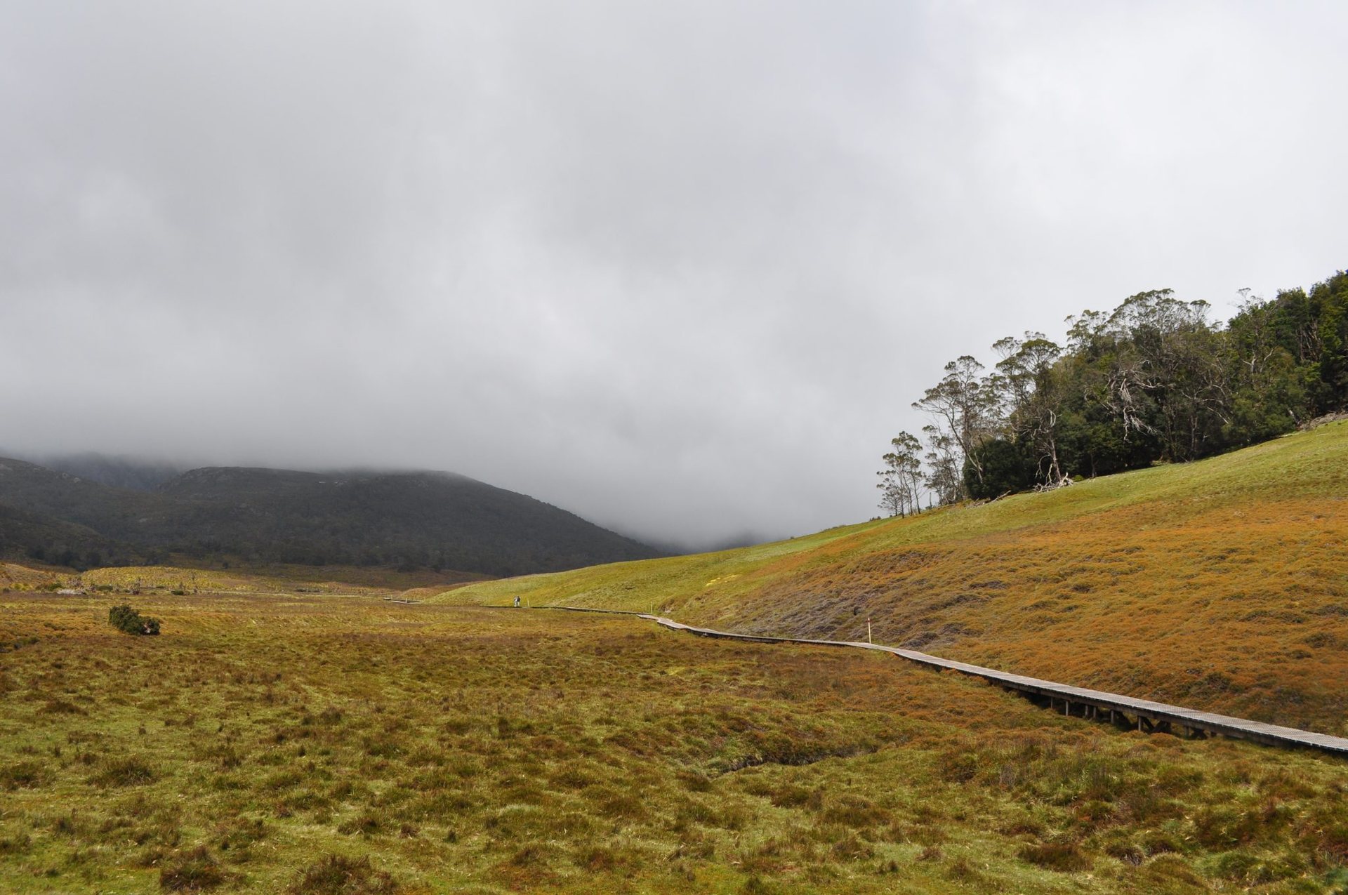
Beyond Bridge of Orchy the Way climbs onto Rannoch Moor on an old drove road and stays there for about 15 kilometres. The moor is a wide plateau of bog, lochans and granite boulders with no shelter at all, and the walk across it is exposed to whatever the weather is doing. In sunshine it is glorious; in a westerly it is a long lesson in why waterproof trousers matter. The isolated hotel at Kingshouse marks the end of the crossing and sits under Buachaille Etive Mor, the pyramid that guards the mouth of Glen Coe.
From Kingshouse the route follows the old road into the glen for a few kilometres before turning up the Devil’s Staircase and dropping to Kinlochleven, a village built around an aluminium smelter that has reinvented itself around walkers and climbers. The final day climbs out of the village into the Lairig Mor, a long glen of ruined shielings and broad views, then descends through forestry into Glen Nevis and along the road to the official end in the centre of Fort William.
Midges, weather and season
The Way can be walked from April to October. May is our favourite month: long days, drier ground, few midges, and the bluebells still out in the loch-side woods. June is nearly as good. July and August bring warmth, crowds and the Highland midge, a tiny biting insect that appears at dawn and dusk in still, damp conditions and turns a campsite into a misery. A head net weighs nothing and we never walk without one after mid-June. Repellent helps; wind helps more; camping on a breezy knoll rather than a sheltered hollow helps most. September is quieter again with fewer midges, and October can be lovely but the accommodation begins to close.
Rain is a certainty at some point. The route is low, so cold is rarely the problem, but wind-driven rain on Rannoch Moor or the Lairig Mor can chill a walker quickly. Full waterproofs, a warm hat and a dry spare layer are the minimum.
Food, water and logistics
Resupply is easy. Every stage ends at a village, hotel or bunkhouse with food, and shops exist at Milngavie, Drymen, Balmaha, Inverarnan, Tyndrum, Kinlochleven and Fort William. A walker who stays in beds can carry almost nothing; a camper needs two or three days of food at most. Water runs off the hills everywhere. We treat it, mainly because sheep and deer share the catchments, but we have never been short.
Baggage transfer is a well-established service on this route. Several companies will move a bag from one night’s accommodation to the next, so you walk with a daypack. It is not cheating, and for a first long walk or a group with mixed fitness it turns a hard week into a pleasant one. Bookings for beds in high summer should be made months ahead, since the villages are small and the Way is popular. Trains run from Glasgow to Milngavie and from Fort William back to Glasgow, which makes the whole trip car-free.
Our verdict
The West Highland Way is not the wildest walk in Scotland, and purists sometimes sniff at the crowds and the baggage vans. We think that misses the point. It introduces people to long days and Scottish weather in a forgiving way, then sends them on to Skye, Knoydart and the Cape Wrath Trail.
- Distance: 154 km / 96 miles, Milngavie to Fort William
- Ascent: a little over 3,000 m in total, high point about 550 m
- Days: 6 to 8 at a relaxed pace
- Season: April to October, best in May, June and September
- Camping: access code applies, with a permit zone on the east shore of Loch Lomond from March to September
Walk it in May, carry a head net anyway, and give yourself a spare day for the loch shore. You will finish in Fort William already planning the next one.